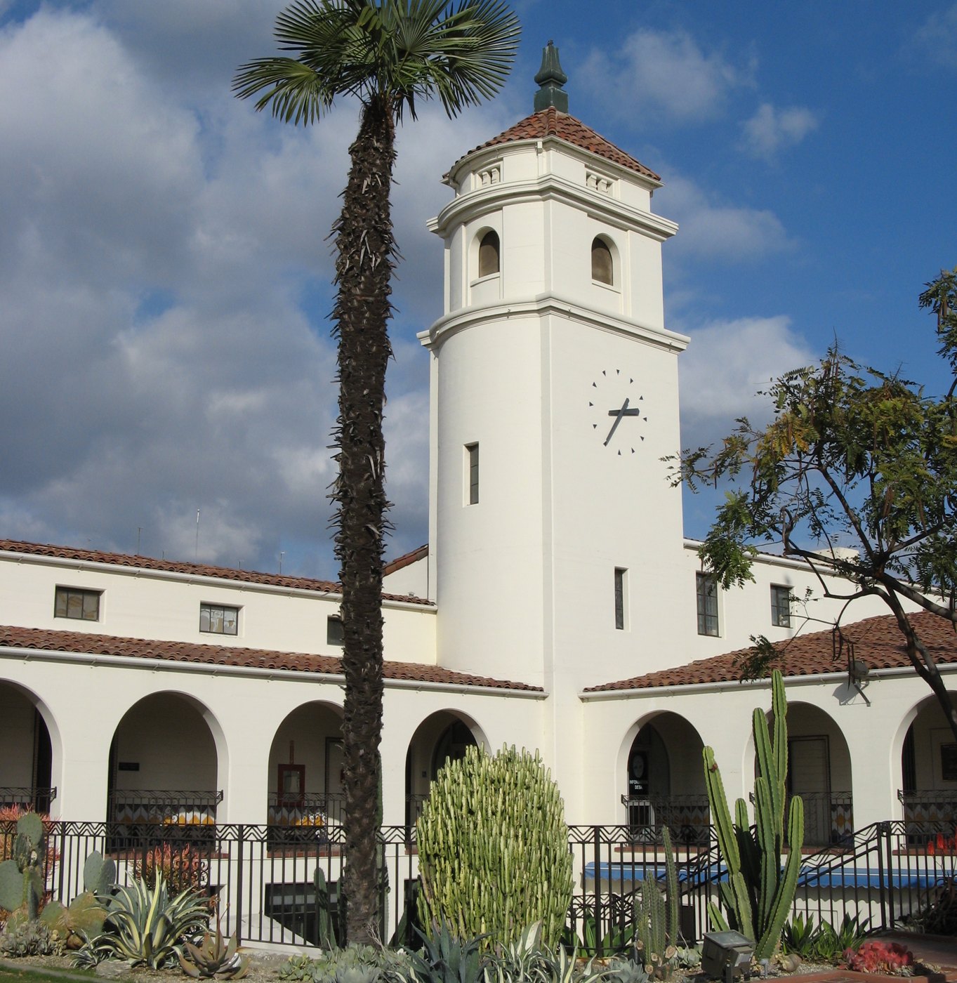
Historic Fullerton City Hall

Outdoors

Picnic spots near Fullerton

Day-use and picnic areas near Fullerton on public land, from quick drives to full-day outings.

12picnic areas
1 mito the closest
8within 30 miles
Year-roundbest months

Good to know: Group picnic sites can often be reserved; fire rules change with the season, so check before bringing a grill.

Closest picks

1

Brea Dam

1 mi northeast · US Army Corps of Engineers

The recreation facilities at this project are managed by the City of Fullerton (CA) Community Services. Golf and tennis are main attractions at this project, located among the picturesque rolling hills in the City of Fullerton.
2

Fullerton Dam

3 mi northeast · US Army Corps of Engineers

Managed by Orange County, CA, there are facilities fishing, picnics, nature exhibits, handball and field sports. No permanent pool.

3

Carbon Canyon Dam

5 mi northeast · US Army Corps of Engineers

Managed by Orange County, there is no permanent pool, but varied facilities such as fishing, picnic areas, a nature trail, and tennis. The site of the historic oil boom town of Olinda. Adjoins Chino Hills State Park.

Map of all 12 places

Map of 12 places loads as you scroll.

Within 30 miles (8)

1 mi northeast · US Army Corps of Engineers

Brea Dam

The recreation facilities at this project are managed by the City of Fullerton (CA) Community Services. Golf and tennis are main attractions at this project, located among the picturesque rolling hills in the City of Fullerton.

  • Biking
  • Hiking
  • Horseback riding
  • Hotel/Lodge/Resort Privately Owned
  • Picnicking

3 mi northeast · US Army Corps of Engineers

Fullerton Dam

Managed by Orange County, CA, there are facilities fishing, picnics, nature exhibits, handball and field sports. No permanent pool.

  • Picnicking
  • Wildlife viewing

5 mi northeast · US Army Corps of Engineers

Carbon Canyon Dam

Managed by Orange County, there is no permanent pool, but varied facilities such as fishing, picnic areas, a nature trail, and tennis. The site of the historic oil boom town of Olinda. Adjoins Chino Hills State Park.

  • Fishing
  • Hiking
  • Picnicking
  • Wildlife viewing

13 mi northwest · US Army Corps of Engineers

Whittier Narrows Dam

This project is managed by Los Angeles County Parks and the City of Pico Rivera. Whittier Narrows has no permanent pool.

  • Biking
  • Boating
  • Horseback riding
  • Picnicking
  • Water sports
  • Wildlife viewing

16 mi east · US Army Corps of Engineers

Prado Dam

This San Bernardino County Parks managed area is an oasis within one of the fastest growing areas of Southern California. Riverside County and the City of Corona also provide recreation facilities.

  • Boating
  • Camping
  • Horseback riding
  • Picnicking
  • Water sports
  • Wildlife viewing

16 mi north · US Army Corps of Engineers

Santa Fe Dam

Facilities at Santa Fe are operated by Los Angeles County Parks. Swimming, fishing, non-power boating, hiking and picnicking are available. Of interest are the five distinct biological communities within the area.

  • Boating
  • Fishing
  • Picnicking
  • Water sports
  • Wildlife viewing

19 mi north · USDA Forest Service

Angeles National Forest

  • Biking
  • Camping
  • Fire Lookouts/Cabins Overnight
  • Hiking
  • Horse Camping
  • Horseback riding
  • Off-highway vehicles
  • Picnicking

29 mi north · USDA Forest Service · Campground

Coldbrook Campground

Coldbrook Campground offers 22 shaded campsites* at the intersection of Coldbrook and Soldier Creeks that are open year round.

  • Camping
  • Picnicking
  • Recreational Vehicles

30 to 75 miles (4)

36 mi north · USDA Forest Service · Campground

Southfork Campground

At a Glance: 4,500-foot elevation 21 sites RV's up to 16' No water Vault toilets Campsites are first-come, first-served What to Expect South Fork Campground on the backside of the San Gabriel Mountains is a hidden gem in the Mojave Desert.

  • Camping
  • Picnicking

37 mi northwest · US Army Corps of Engineers

Hansen Dam

The City of Los Angeles manages the extensive day-use facilities, including golf and riding stables, are available at this site in the San Fernando Valley.

  • Boating
  • Hiking
  • Horseback riding
  • Picnicking
  • Water sports
  • Wildlife viewing

37 mi north · USDA Forest Service · Campground

Peavine Campground

6.100-foot elevation. 4 tent sites. No water. Vault toilets. Adventure Pass required for vehicles parked at campground. First come - first served. Usually inaccessable during the winter months. The area has heavy use during snow play.

  • Camping
  • Picnicking

37 mi northwest · US Army Corps of Engineers

Sepulveda Dam

The Sepulveda Dam's recreation facilities are managed by the City of Los Angeles Parks.

  • Biking
  • Boating
  • Picnicking
  • Water sports
  • Wildlife viewing

Distances are straight-line miles from downtown Fullerton. Listings come from Recreation.gov’s federal recreation database; check each official page for hours, fees, fire restrictions and closures before you go.

Get outside around Fullerton

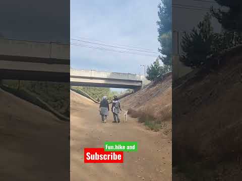
having fun at the hiking trail fullerton california have a great day! video thumbnail

THINGS TO DO · YOUTUBE SHORT

having fun at the hiking trail fullerton california have a great day!

A local activity Short shared by Franz ScottLee.

Watch on YouTube ↗

Around Fullerton

Masonic Temple Fullerton
MasonicTempleFullerton01cTraveler100 · CC BY-SA 3.0
Life of St, Fullerton
Front-2022-01-01DZKriz · CC BY-SA 4.0
Fullerton photograph by peter boy12qq12
Fullerton, CA, USA (10)peter boy12qq12 · CC BY 3.0

More outdoors near Fullerton

Questions

Where is the closest place for picnic spots near Fullerton?

Brea Dam (US Army Corps of Engineers), about 1 miles northeast of Fullerton as the crow flies. Next are Fullerton Dam (3 mi) and Carbon Canyon Dam (5 mi).

When is the best time for picnic spots near Fullerton?

Based on Fullerton’s average highs, all year. Conditions at higher elevations can be much cooler.

Who manages these places?

Federal agencies including US Army Corps of Engineers, USDA Forest Service. Each listing links to its official page for hours, fees, closures and current conditions.

Fullerton AI

Your Fullerton local guide
Hey there!

I'm Fullerton AI. Ask about neighborhood food, independent shops, local history or planning a visit.

AI recommendations may be inaccurate. Verify hours and prices. Questions are processed by Cloudflare. Privacy